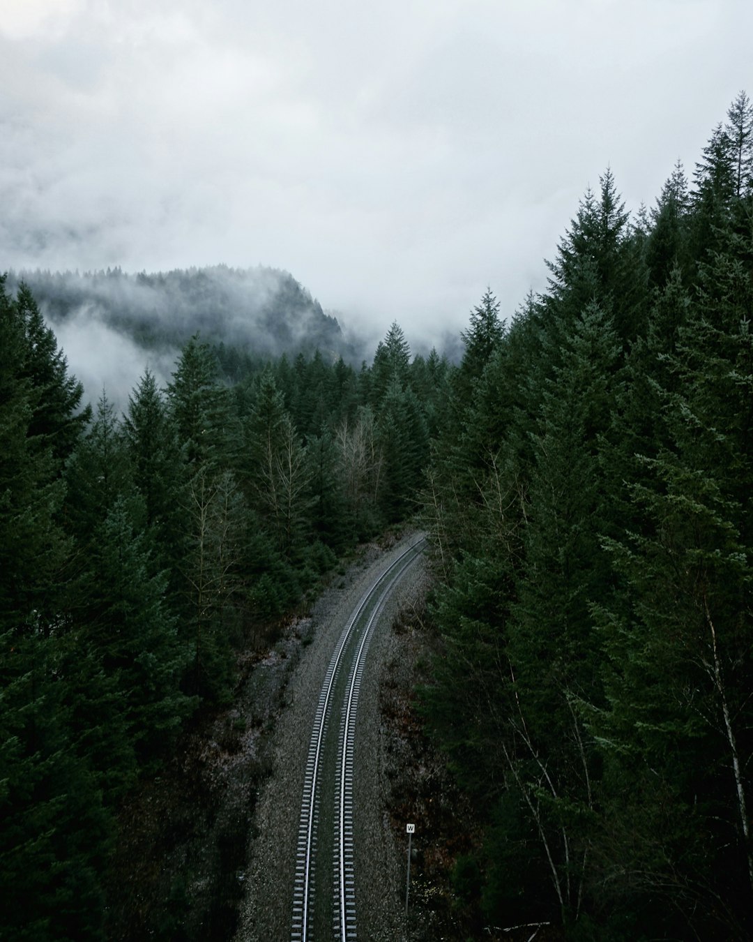
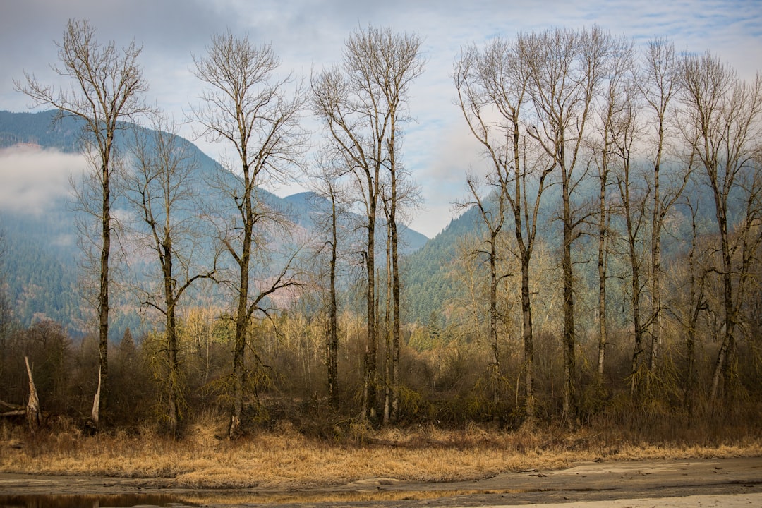
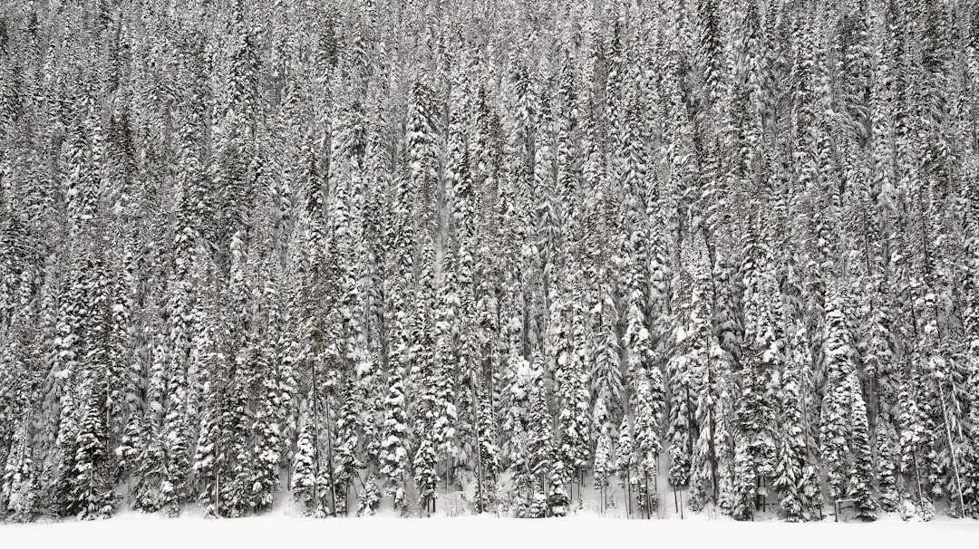
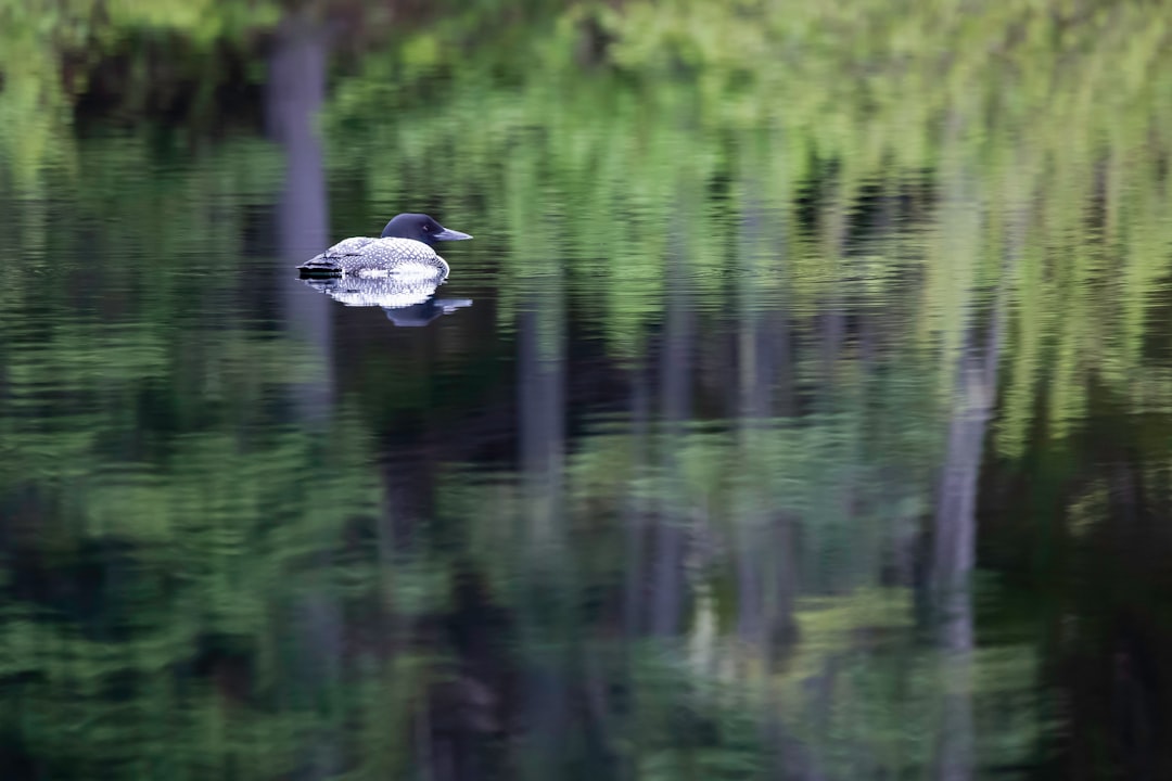
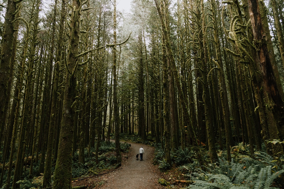
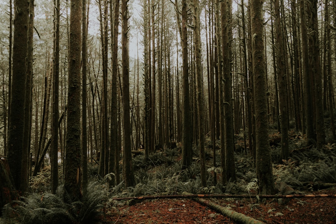
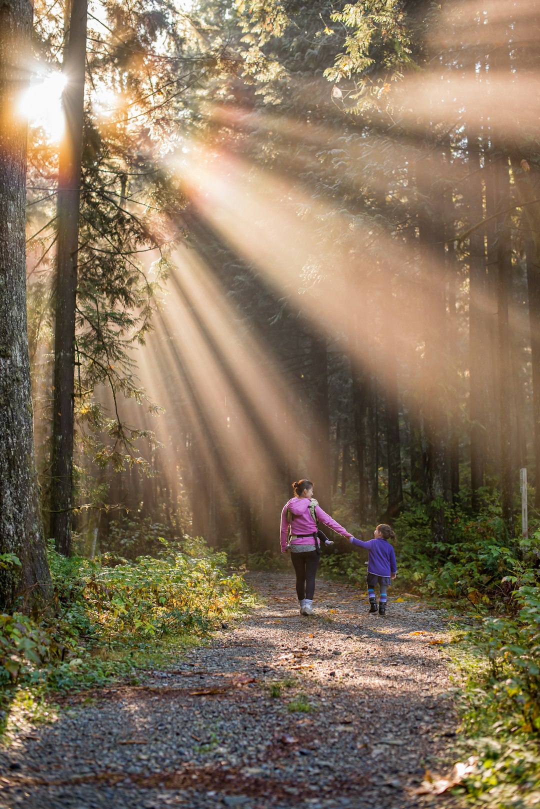
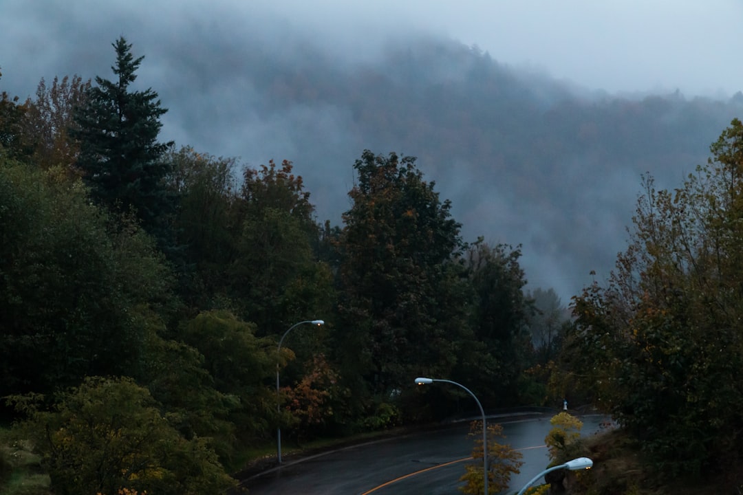
The Best Forest Photo Spots around Alexandra Bridge in Canada
Explore Forest pictures of Alexandra Bridge with the travel spots on a map
Download the Travel Map of Canada on Google Maps here
10 Forest Spots of Alexandra Bridge on a Map
Pictures of Forest on the interacive map of Alexandra Bridge
Download On Google Maps 🗺️📲Forest Spots and Pictures around Alexandra Bridge
Discover popular destinations in Alexandra Bridge with their travel guides
Alexandra Bridge
Read the Travel guide View on Google Maps
Cascade Falls Trail
75 km away from Alexandra Bridge
Read the Travel guide View on Google Maps
Golden Ears Provincial Park
76 km away from Alexandra Bridge
Read the Travel guide View on Google Maps
Mt. Thom Peak
76 km away from Alexandra Bridge
Read the Travel guide View on Google Maps
38802 BC-7
80 km away from Alexandra Bridge
Read the Travel guide View on Google Maps
Lightning Lake Loop
83 km away from Alexandra Bridge
Read the Travel guide View on Google Maps
Manning Park
84 km away from Alexandra Bridge
Read the Travel guide View on Google Maps
Golden Ears
88 km away from Alexandra Bridge
Read the Travel guide View on Google Maps
Alouette Mountain Fire Access Trail
95 km away from Alexandra Bridge
Read the Travel guide View on Google Maps
Abbotsford
97 km away from Alexandra Bridge
Read the Travel guide View on Google Maps
Book your Travel Experience in Alexandra Bridge
Discover the best tours and activities in Alexandra Bridge and book your travel experience today with our booking partners
Learn More about Alexandra Bridge
Find Hotels in Alexandra Bridge
Discover the best hotels around Alexandra Bridge, Canada and book your stay today with our booking partner booking.com